KathaYatraकथायात्रा Get notified
🏛️ NOW OPEN — The KathaYatra Virtual Museum · walk through 5000 years of India  Enter free →

हर यात्रा की एक कथा हैEvery journey
has a story.

Track your trek with altitude. Stamp your photos with place & height. And discover the living mythology of every place you stand in — cited to the Puranas, Vedas & folk tradition. Even where there's no signal.

▲ Altitude-first trackingelevation, climb, offline 📿 Kathas near you500+ sacred places, cited
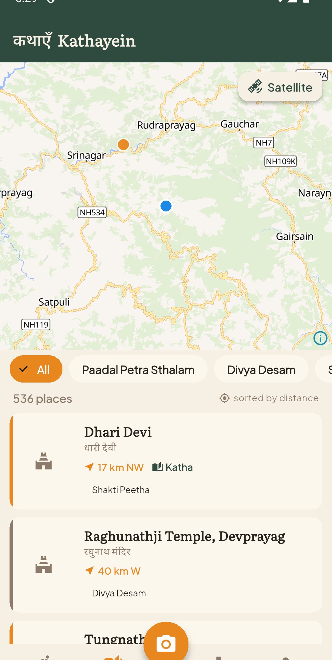
KathaYatra — stories near you
Three journeys in one

Built for trekkers & pilgrims of India

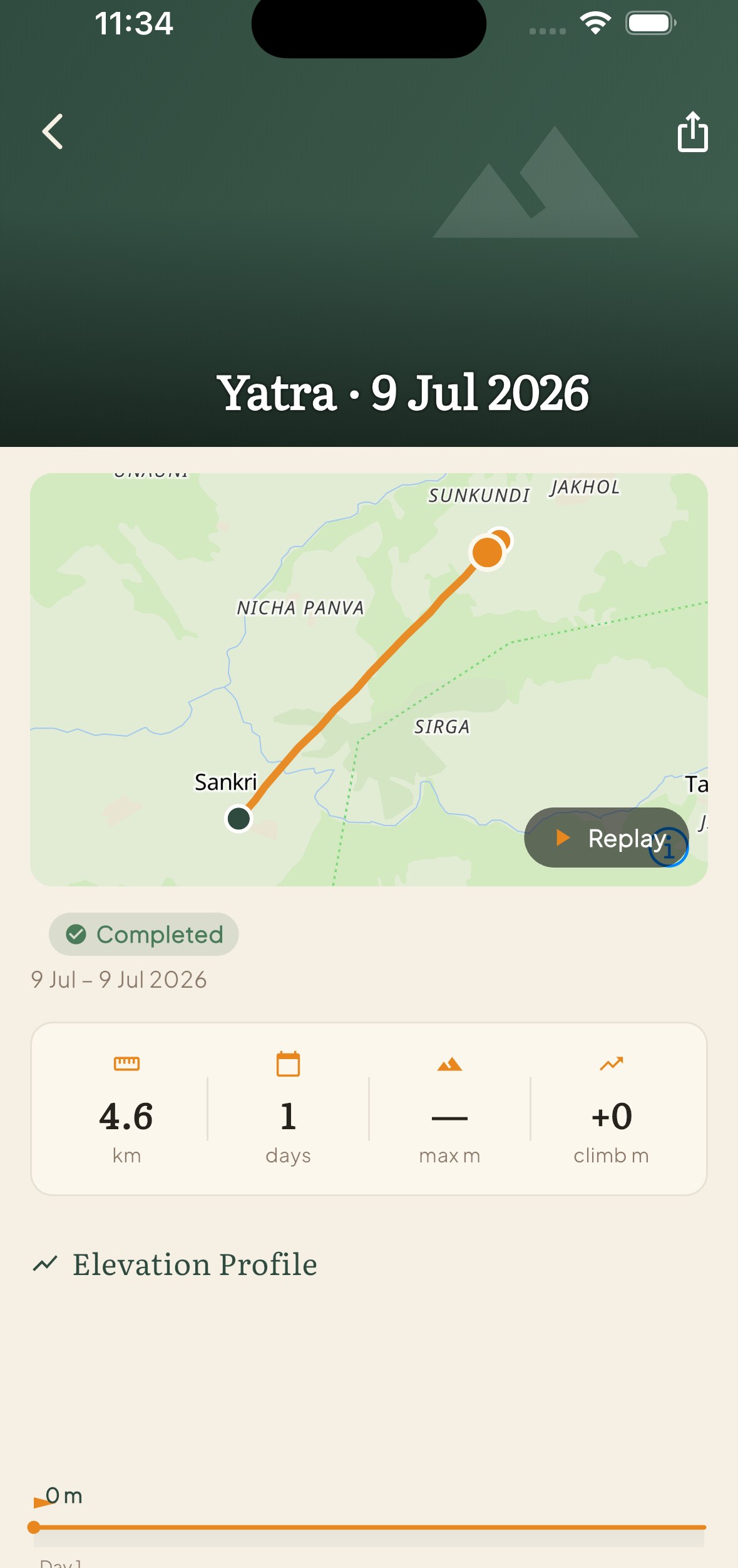
Your yatra, drawn for you

Start a trip and KathaYatra records your route and altitude automatically — even with the phone locked in your pocket, even off-grid.

  • Live elevation profile, total climb, highest point
  • A map that traces your real path, Polarsteps-style
  • Replay your journey — route drawing itself, camera chasing
Trip timeline with elevation profile

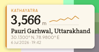
Stamp the moment

Capture photos stamped with your altitude, coordinates, place name and date — a summit proof and a memory in one. A clean copy is saved too.

  • Altitude from barometer + offline elevation data
  • Beautiful trekker-card & minimal templates
  • Works with no signal — place name from your offline pack
A photo stamped with altitude, place and date

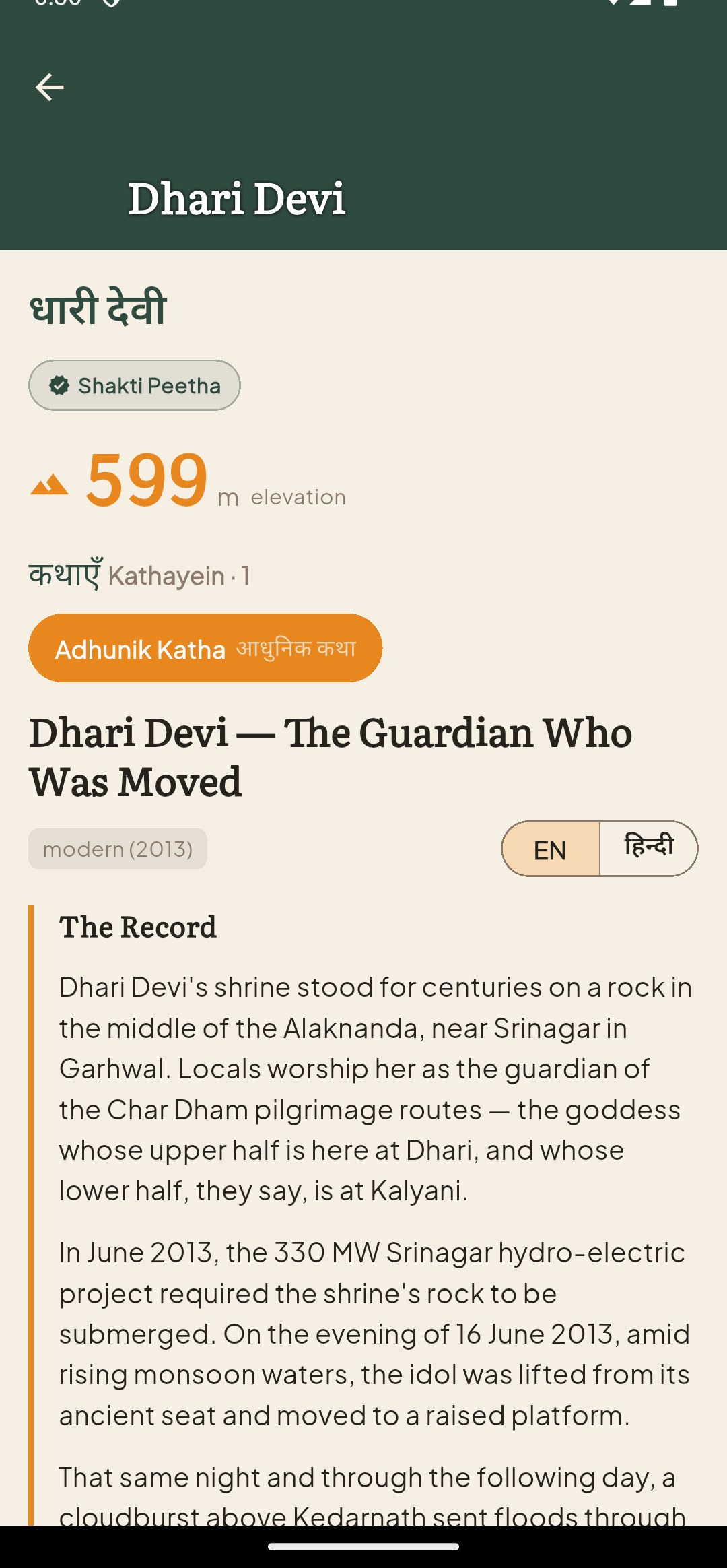
The कथा of where you stand

At every ancient place, read its story — the scripture legend, the local folk-tale, the history, and the modern lore — each labelled and cited to its source. Respectfully told, never invented.

  • Shastra · Lok-katha · Itihas · Adhunik — many stories per place
  • Sourced to Puranas, Vedas, epics & living tradition
  • Hindi & English, offline story packs for treks
A cited katha story detail
Living mythology of India

Every place remembers

500+sacred places mapped
300+cited kathas & folk-tales
12+trek packs, fully offline

From the twelve Jyotirlingas and the Char Dham to the trail-side devtas of Har Ki Dun and the skeleton lake of Roopkund — the stories the mountains have kept, told where they happened.

Made for the mountains

Works where there's no signal

🏔️

Download a Trek Pack before you go — maps, elevation, and every katha for the route, all offline. Har Ki Dun, Chandratal, Kinnaur Kailash, the Char Dham and more. Beyond the last tower of signal, KathaYatra keeps working.

Coming soon to Android & iOS

KathaYatra is in the final stretch. Want to know the moment it's ready to walk with?

Notify me No spam — one email when it launches.